File:Figure 5.5 - Mesh in Geographic Coordinates (lat & long). The map of Canada is shown as a reference.png
Jump to navigation
Jump to search
Size of this preview: 800 × 414 pixels. Other resolutions: 320 × 165 pixels | 903 × 467 pixels.
Original file (903 × 467 pixels, file size: 72 KB, MIME type: image/png)
|
|
This is a file from the Wikimedia Commons |
._The_map_of_Canada_is_shown_as_a_reference.png)
Summary
| Description |
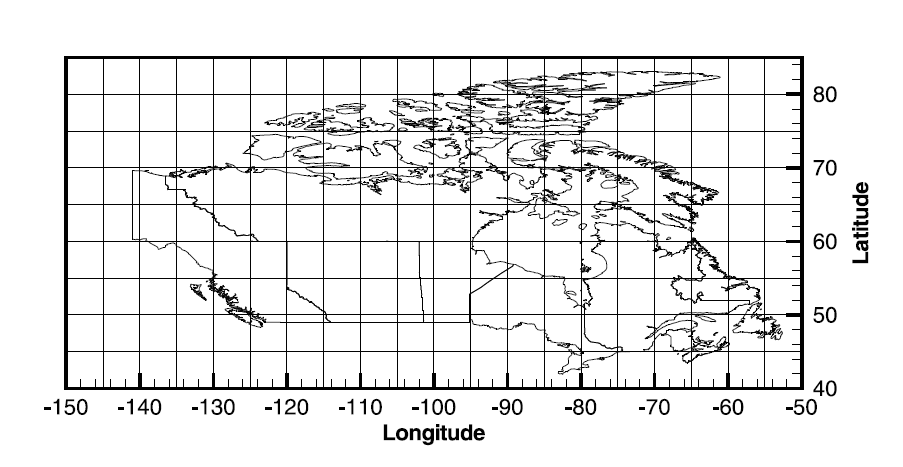
English: Figure 5.5: Mesh in Geographic Coordinates (lat/long). The map of Canada is shown as a reference |
| Date | |
| Source | HydroGeoSphere User Manual |
| Author | Aquanty Inc. |
Licensing

|
The copyright holder of this file allows anyone to use it for any purpose, provided that the copyright holder is properly attributed. Redistribution, derivative work, commercial use, and all other use is permitted. |
|
|
File history
Click on a date/time to view the file as it appeared at that time.
| Date/Time | Thumbnail | Dimensions | User | Comment | |
|---|---|---|---|---|---|
| current | 02:07, 18 November 2014 | | 903 × 467 (72 KB) | RshieldsVA | User created page with UploadWizard |
File usage
The following page uses this file:
._The_map_of_Canada_is_shown_as_a_reference.png)