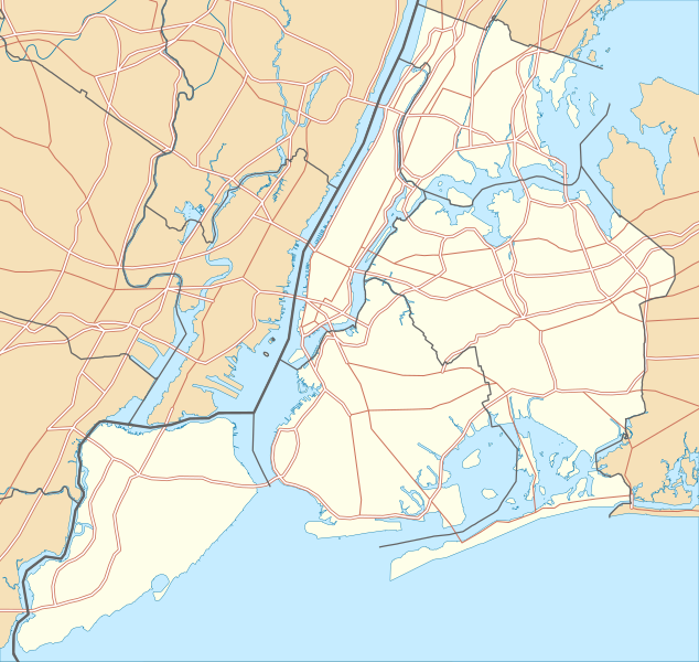
File:USA New York City location map.svg
Appearance

Size of this PNG preview of this SVG file: 634 × 600 pixels. Other resolutions: 254 × 240 pixels | 507 × 480 pixels | 812 × 768 pixels | 1,082 × 1,024 pixels | 2,164 × 2,048 pixels.
Original file (SVG file, nominally 800 × 757 pixels, file size: 418 KB)
File history
Click on a date/time to view the file as it appeared at that time.
| Date/Time | Thumbnail | Dimensions | User | Comment | |
|---|---|---|---|---|---|
| current | 22:57, 2 January 2010 |  | 800 × 757 (418 KB) | Alexrk2 | roads under boundaries |
| 22:54, 2 January 2010 |  | 800 × 757 (418 KB) | Alexrk2 | changed road signature | |
| 13:25, 2 January 2010 |  | 800 × 757 (482 KB) | Alexrk2 | == {{int:filedesc}} == {{Information |Description= {{de|Positionskarte von New York City, USA}} Quadratische Plattkarte, N-S-Streckung 130.0 %. Geographische Begrenzung der Karte: * N: 40.92° N * S: 40.49° N * W: 74.27� |
File usage
The following page uses this file:
Global file usage
The following other wikis use this file:
- Usage on als.wikipedia.org
- Usage on ar.wikipedia.org
- Usage on arz.wikipedia.org
- Usage on ast.wikipedia.org
- Usage on az.wikipedia.org
- Usage on ban.wikipedia.org
- Usage on ba.wikipedia.org
- Usage on be.wikipedia.org
- Usage on bg.wikipedia.org
- Usage on bh.wikipedia.org
- Usage on bn.wikipedia.org
- টেমপ্লেট:তথ্যছক ঐতিহাসিক স্থান
- টেমপ্লেট:অবস্থান মানচিত্র মার্কিন যুক্তরাষ্ট্র নিউ ইয়র্ক সিটি
- অ্যাস্টোরিয়া, কুইন্স
- মেট্রোপলিটন মিউজিয়াম অব আর্ট
- ক্রাইসলার বিল্ডিং
- উলঅর্থ বিল্ডিং
- টেমপ্লেট:তথ্যছক ঐতিহাসিক স্থান/নথি
- মডিউল:অবস্থান মানচিত্র/উপাত্ত/মার্কিন যুক্তরাষ্ট্র নিউ ইয়র্ক শহর
- মডিউল:অবস্থান মানচিত্র/উপাত্ত/মার্কিন যুক্তরাষ্ট্র নিউ ইয়র্ক শহর/নথি
- ৮৬তম স্ট্রিট স্টেশন (সেকেন্ড অ্যাভিনিউ সাবওয়ে)
- ৯৬তম স্ট্রিট স্টেশন (সেকেন্ড অ্যাভিনিউ সাবওয়ে)
- লাগুয়ার্ডিয়া বিমানবন্দর
- ৫৭তম স্ট্রিট স্টেশন (আইএনডি সিক্সথ অ্যাভিনিউ লাইন)
- রুজভেল্ট আইল্যান্ড স্টেশন
- হিন্দু টেম্পল সোসাইটি অফ নর্থ আমেরিকা
- ৮৬তম স্ট্রিট স্টেশন (বিএমটি ফোর্থ অ্যাভিনিউ লাইন)
View more global usage of this file.


