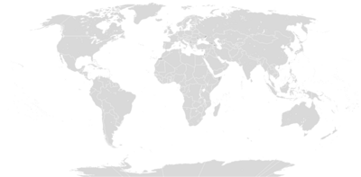
Template:World image map
Appearance
Example

How to use the template
This template is used to display a clickable world map to help users navigate a large list of countries by continent. Include the following where you want the map to appear:
{{world image map}}
The image map assumes that in-page links to all the continents exist, e.g., #Africa, and in some cases, individual countries, e.g., #Canada. As time permits, more countries could be added, but a higher resolution version of this template is more appropriate for that.
Image map created with http://toolserver.org/~dapete/ImageMapEdit/ImageMapEdit.html?en
