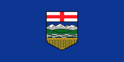
Wikijunior:North America/Canada/Alberta

Alberta is located in western Canada, bounded by the provinces of British Columbia to the west and Saskatchewan to the east, the Northwest Territories to the north, and the U.S. state of Montana to the south. Alberta is one of three Canadian provinces and territories to border only a single U.S. state. It is also one of the only two Canadian provinces that are landlocked, the other being Saskatchewan.

History
[edit | edit source]Geography
[edit | edit source]Alberta is one of the western provinces of Canada, with only British Columbia blocking it from the Pacific Ocean. To the east is Saskatchewan, to the north are the North-West Territories, and to the south is Montana in the United States. The capital of Alberta is Edmonton, but the city with the most people is Calgary (1.336 million as of 2017). Alberta is the fourth largest province in Canada, at about 660,000 sq km.
People
[edit | edit source]Climate
[edit | edit source]Alberta has warm summers and cold winters.


